Our Services
GIS & Mapping
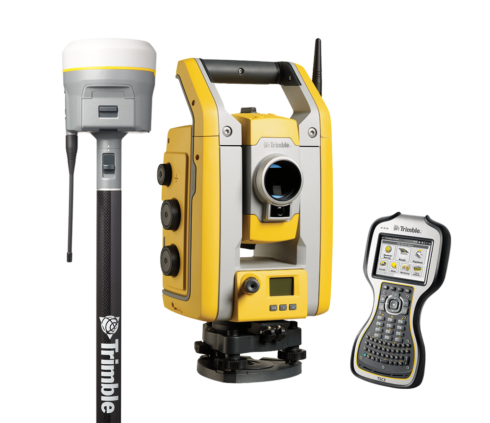
Datapoint is proud to use the most advanced CAD Mapping and Geographic Information System (GIS) solutions on the market. Led by our experienced team, we understand the importance of having an accurate, detailed view of each site and infrastructure, and will work tirelessly to compose and deliver the best technological database for your exact needs.
Charting the Road Ahead
By combining data layers and insights into natural resources and boundary data, CAD Mapping and GIS technology can effectively create a robust 3-D view of your project site, enabling a detailed overview of topography and geography, project plans, any proposed infrastructure, and so much more. Datapoint can provide cost-effective GIS and mapping solutions for our clients, because we know this data is just the start.
GIS Solutions Built for You
Datapoint is proud to use the most advanced CAD Mapping and Geographic Information System (GIS) solutions, which allow us to provide a detailed 3-D view of your project site. Our GIS Solutions can be customized to your exact needs as we combine cartography, statistical analysis, and computer science to map information, such as natural resources, well sites and pipeline infrastructure, all to achieve environmental compliance, cost savings, and reduce emergencies.